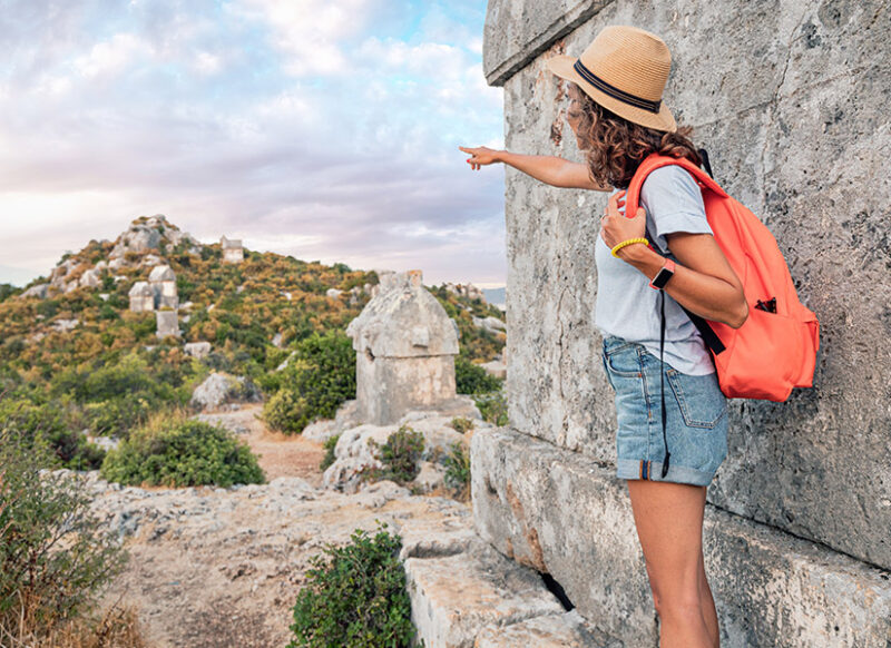
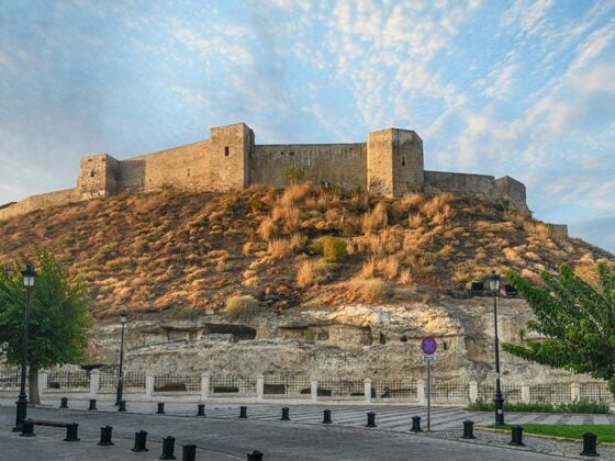
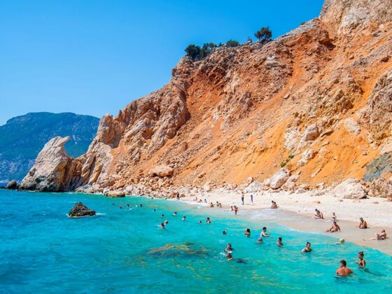
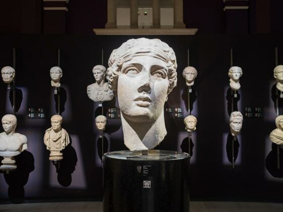
The Lycian Way, which starts from Fethiye and ends in Beldibi in Antalya, has a worldwide reputation as one of the most beautiful routes for trekking lovers. Along the way, you will be accompanied by the Mediterranean sometimes, the paths in the lush forests, and the magnificent ancient cities of the Lycian Civilization, the land of the sun that witnessed the history of humanity.
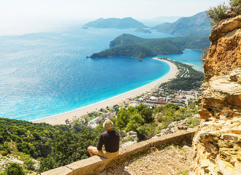
What Should I Take with Me for the Lycian Way?
If you want to camp, you should definitely have your basic necessities such as a sleeping bag and mat, a bag with a capacity of 50-60 liters, hiking shoes, a lot of T-shirts, a long-sleeved sweatshirt and tights or tracksuits, underwear, socks, hats. You won’t have any trouble finding food as the hiking trails pass through the villages. You can take foods that will keep you full for a while, such as nuts and protein bars, to suppress your hunger and give you energy.
Water bottle, pocket knife, mobile phone, portable charger, sunscreen, sunglasses, flashlight, head lamp, a small first aid kit, any medicines you use, raincoat, slippers, swimsuit, towel that does not take up space, powder for possible rashes, walking sticks, most importantly your identity card and important personal documents must be with you. When you run short of clean water, it’s useful to have a straw called Lifestraw, which makes the water drinkable. Don’t forget to take a few extra bags with you to collect your waste and throw it in the nearest trash. Finally, you will pass many ancient cities, ruins and museums along the Lycian Way, get a Museum Card to visit them.
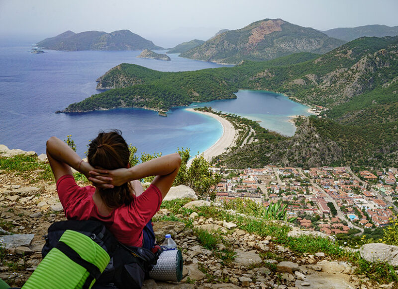
Important Tips for the First-Time Hikers in the Lycian Way
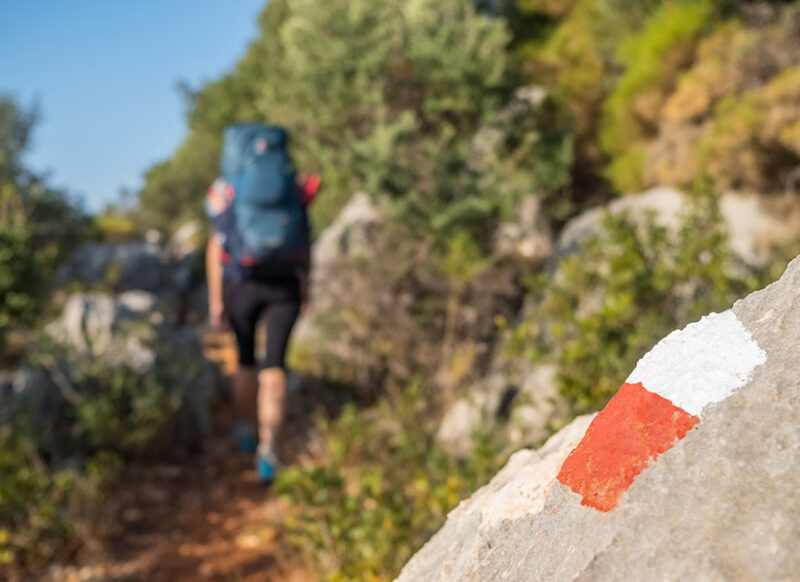
The Lycian Way, where there are various signs and directions for hikers, was processed with the French Grande Randonne system. Amateurs can also complete the Lycian Way, which has yellow signposts at the intersections, without getting lost. The red and white lines, which are marked every 50 meters on the path and every 200 meters on the dirt roads, make hiking very easy. The cross, drawn with red paint, indicates that you’re on the wrong road and have turned into a dead end. Overlaid red and white markings remind you that you are at a crossroad. Volunteers renew these signs at regular intervals, but sometimes the signs can be missed due to natural conditions or negligence, so if you lose your way, you need to go back to the last sign and check the environment calmly. The markings on both sides of things like trees and rocks will help you.
When is the Best Time to Hike on the Lycian Way?
The Lycian Way is beautiful in every season thanks to the climatic conditions of the region where it is located throughout the year. The ideal season for the Lycian Way in the Mediterranean region, where the summers are quite hot, is spring or autumn. In winter, as snowfall and severe cold are seen on the high stages of the road, some difficult stages can be closed. When planning a walk, do not forget to check whether the road to the national parks is open. If you don’t want to be exhausted from the heat for, morning and evening hours are more comfortable. There are many areas where you can camp along the way. In the villages on the Lycian Way, you can meet your water, food and even accommodation needs, and recharge your phone and portable charger.
Where to Start the Lycian Way?
The Lycian Way starts from the point where the “Lycian Way Starting Point” sign is located in Ovacık, Fethiye. Generally, the start in Fetiye is preferred as a more comfortable starting point for amateurs. The end point of the Lycian Way is the town of Geyikbayırı, which is about 20 km away from the center of Antalya… If you wish to explore this road full of historical, touristic and natural beauties, you can start from Fethiye or Antalya. The entire historical Lycian Way, which has five different tracks, is approximately 550 kilometers and can be completed in 25-40 days depending on walking speed.

Trails of Lycian Way
The Lycian Way consists of 31 stages according to the difficulty levels. Those hiking the way generally divide these stages into two parts; east and west. Although some of the trails are difficult for those who love hiking, there are quite short trails with a unique view.
The western part of the road between Fethiye – Kaş, covers the stages of Ovacık – Kirme, Faralya – Alıncak, Alınca – Sidyma – Gey – Bel, Belceğiz – Gavurdağlı – Karadere, Karadere – Leton – Santos, Üzümlü – Islamlar, Akbel – Patara, Kalkan – Bezirgan – Sarıbelen, Hacıoğlan, Dereköy – Çukurbağ, Kaş – Limanağzı. In the western part, Ölüdeniz, Butterfly Valley, Ovacık Village, Kabak Bay, Sidyma Ancient City, Pınara Ancient City, Letoon Ancient City, Xanthos Ancient City, Patara Beach and Patara Ancient City are the places you must see.
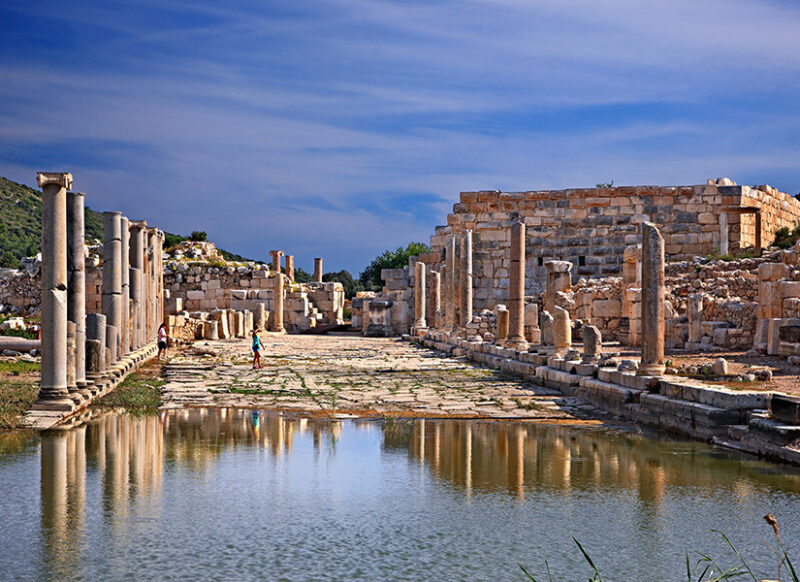
The eastern part, the second part of the Lycian Way, starts from Kaş and continues until Geyikbayırı. The eastern part, where many historical and touristic values are located, covers the stages of Çoban – Boğazıcık, Boğazıcık – Üçağız, Üçağız – Andriake – Demre (Myra), Demre – Vadi – Belören, Zeytin – Alakilise – Üstyol, Demre – Beymelek – Yeniyol, Finike, Hasyurt – Kumluca, Mavikent – Gagai, Karaöz – Adrasan, Gelidonya Lighthouse – Menappi, Musa Mountain – Olympos, Çıralı – Chimera – Maden Ayrım Yeri, Ulupınar – Beycik, Tekirova – Phaselis, Tahtalı, Phaselis – Kuzdere, Tekedağı – Güneşli, Ovacık – Göynük Canyon, Sarıçınar – Hisarçandır. In the eastern part, which is quite long, Antiphellos Ancient City, Apollo Ancient City, Simena (Kaleköy), Myra Ancient City, Limyra Ancient City, Rhodiapolis Ancient City, Gagai Ancient City, Melanippe Ancient City, Gelidonya Cape and Lighthouse (Taşlık Cape), Adrasan, Olympos, Çıralı, Phaselis Ancient City are the places you must see.
You can create a hiking route yourself from the above stages. Karaöz – Adrasan – Çıralı route is quite touristic. You can easily finish this 47-kilometer long route in a few days by staying in Adrasan. Breath-taking and picturesque landscapes will accompany you along the route with the camping option.
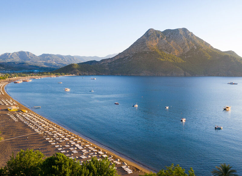
Ovacık – Göynük Canyon is the most difficult part of the route. This stage, which is approximately 45 kilometers, includes very steep climbs. At this stage, which is quite risky for amateurs, the canyon is not on the Lycian Way route. Camping is not allowed in Göynük National Park, but you can get ready for hiking again with accommodation properties in Göynük.
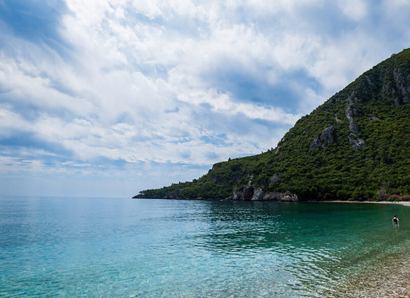
Another route you should pay attention to is the stage between Demre (Myra) – Finike. Alaca Mountain, which is on the 41-kilometer route, makes the track almost uncrossable. The route, which starts with 5 kilometers of plains, reaches an altitude from 0 meters to 1800 meters. Keep your attention in this region, which is a very difficult stage for the first-time hikers.
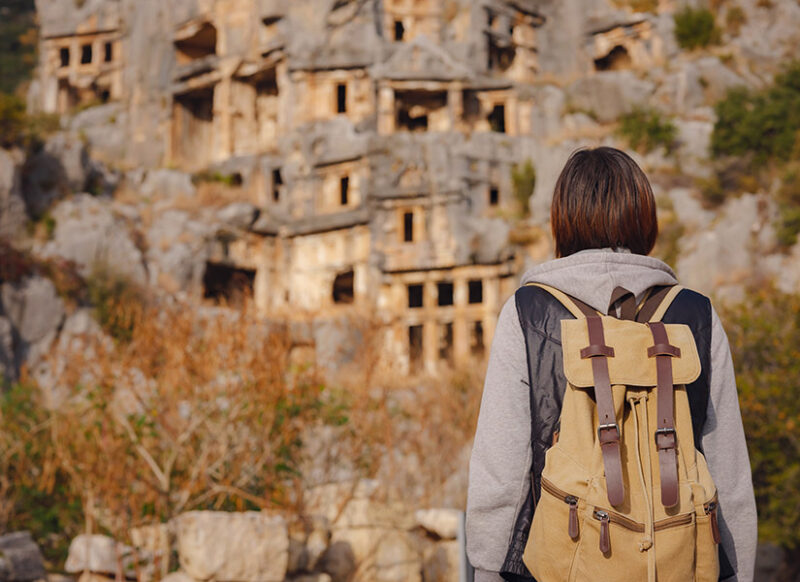
What Else Can You Do?
- If you want to go above the clouds, you can climb the 2365-meter Tahtalı Mountain.
- You should definitely see Delikkemer, which carries water to the Ancient City of Patara.
- You should swim in the blue waters of the Mediterranean at natural beaches such as Kabak Bay, Patara Beach, Kekova, Adrasan, Korsan Bay, Çıralı Beach and Phaselis.
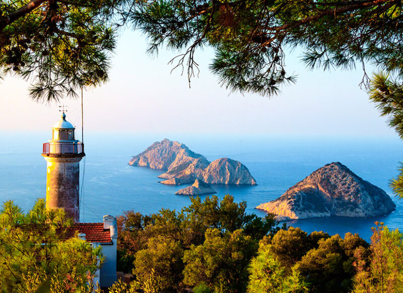
- You should spend the night in Gelidonya Lighthouse, which looks like a fairy tale world.
